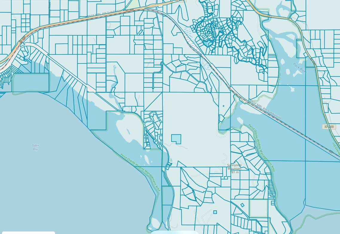
Understand any property, parcel by parcel.
Parcel Atlas turns county assessor and GIS records into a map anyone can read — boundaries, ownership, acreage, deeds, plats, zoning, and historical imagery, all in one place.
Who it's for
One parcel record, three very different questions.
Counties
Publish your parcel, zoning, and records data in a viewer staff and residents actually enjoy using — hosted and maintained for you.
County licensingDevelopers & builders
Screen sites fast: acreage, zoning, easements, adjoining owners, access, and prior plats before you spend a dollar on due diligence.
Due-diligence toolsHomeowners
Find out where your lines actually run, what your deed says, who owns next door, and how your property has changed over the decades.
Look up your propertyThe workspace
Every parcel, record, and document — on one authoritative map.
Parcel lookup
Search by owner, address, or parcel number and land on the exact property with its boundary drawn.
Records library
Deeds, plats, records of survey, easements, and title documents linked to the parcels they describe.
Measure & sketch
Check distances, area, and setbacks, then sketch lot layouts with color, fill, and labels.
Zoning & GIS layers
Toggle zoning, topography, aerial imagery, hydrography, and county boundaries.
Historical imagery
Compare aerials and scanned topo maps across decades to see how a property changed.
Share & export
Send a clean property report or share link to a client, buyer, lender, or neighbor.
The map tools are on us.
Parcel Atlas is provided to the North Idaho community by Sandpoint.co. The interactive map, parcel lookup, and distance and area measuring tools are free for anyone with a login — no trial clock, no credit card, no catch. We build these tools for our own land and real estate work, and we'd rather share them than keep them behind a paywall.
Neighbors, buyers, builders, and county staff are all welcome. If your county or firm needs deeper records, reports, and licensing, that's where our paid plans come in.
Built in Sandpoint. Grounded in official records.
Every boundary, owner, and acreage figure traces back to the county source it came from — so you can trust what you're looking at, whether you're issuing a permit or walking your own back line.